Our day begin with a rainstorm. We knew the trail would be wet, but the rain stopped just prior to us arriving. We begin our journey on the east side of the Middle Landing Bridge. The trail was well marked with turtle signs and there was a trail head map. We followed the river through beautiful ferns and trees towards 2 beaver dams.
 We noticed the huge beaver lodge first and plenty of signs that the beavers had been busy. Next we tested our balance by walking on the edge of 2 massive beaver dams between dead water on one side and the river on the other. We walked through a forest of huge hemlocks and pines.


 We could hear the eagles calling but were unable to spot their nest. At the bottom of a steep bank we found our tenting site. It was a gorgeous spot right on the river that had tent platforms and a huge teepee to sleep, gather or cook in.
 We were able to start a small fire in the teepee to keep the bugs at bay (they were vicious, blood sucking creatures in swarms big enough to carry a person away–do not attempt this hike without bug jackets, long sleeves and pants.)
 We ate supper on the bank of the river and I spent my evening enjoying the riverbank. I saw ducks, beavers and fish.
 I woke the next morning to the sound of 2 eagles and the downpour of rain that was not supposed to come until Friday night. We started a small fire in the teepee and ate breakfast dry and toasty. We considered just staying there another day, but decided to embrace the rain and keep moving. We climbed the steep embankment back to the trail and continued wet but happy. We hiked through a boggy cedar patch where I quickly got wet and muddy feet. It was worth it to see the amazing Papineau Falls. They were magnificent!


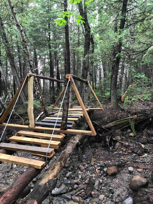
 My trail partner and I agreed that we would hike that section again sometime for sure. After a precarious crossing of an offshoot of the river, the trail continued through a giant pine forest. There was a section here that was muddy, slick, and very steep where I slipped and slid down a huge embankment on my side. You will need to have 2 hiking poles here and best to wait until after the rain next time. After I climbed that point we found a lovely lean to in the forest where we had lunch. It was obviously a private camp, but we needed to get out of the rain and rest and we really appreciate that it was there and open.The rain let up after lunch and we continued on. Looking forward to a log bridge spanning the Red Brook. Red Brook looked more like a river and the bridge was a pile of rubble so we made our own bridge to cross the river. From here we hit a dirt road for a bit around private camps and towards a set of railroad tracks. We arrived at the same time as the train and took a rest while the train passed.
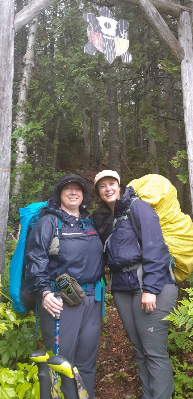
 We crossed a rope bridge and climbed a rough trail with many small ups and downs on a high narrow ridge for quite a distance where the view of the river was awesome. The trail continued in a boggy patch of giant pines and tamarack where we crossed the bottom of yet another massive beaver dam. We ended on a dirt road towards our car.


 Our feet were sore, our packs were wet and we were walking slowly but we were happy. At the end of every hike I think of the top 5 things I want when I finish, today’s list was:
1. Take off my pack
2. Take off my wet shoes and socks
3. Take an Advil
4. Find a real bathroom
5. Get a coffeeWe hiked 22km of the trail and would definitely do the section E to the falls again. The trail was well marked, a lot of the winter tree fall was cleaned up and the trail was well maintained. Because of it’s easy access to water there is no need to carry a lot of extra water with you.
Nepisiguit Mi’gmaq Trail
2 Replies
